Römerkanal-Wanderweg Etappe 2
Kall Dottel
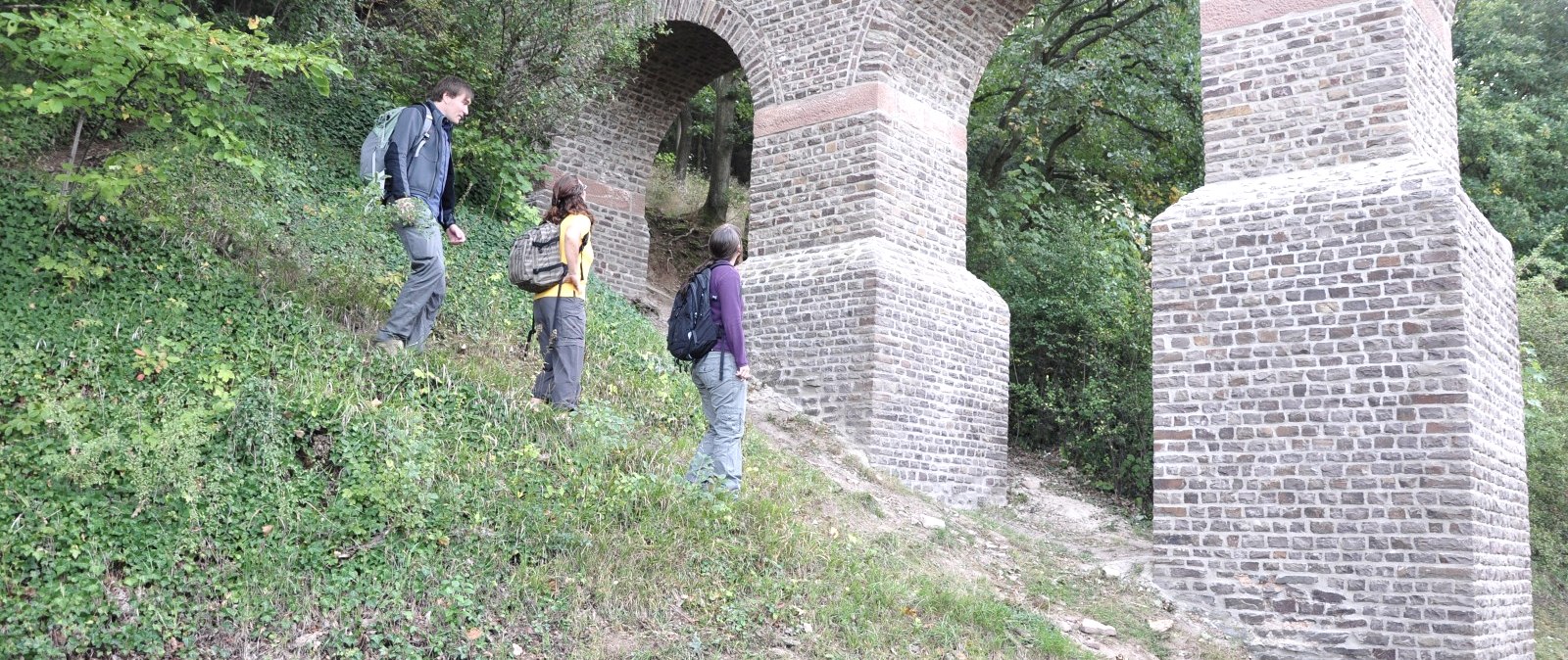
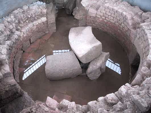
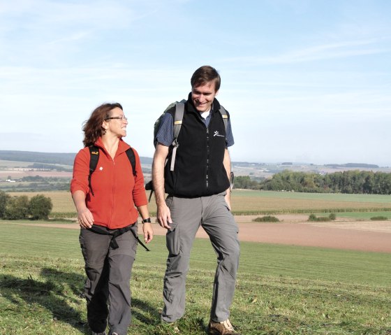
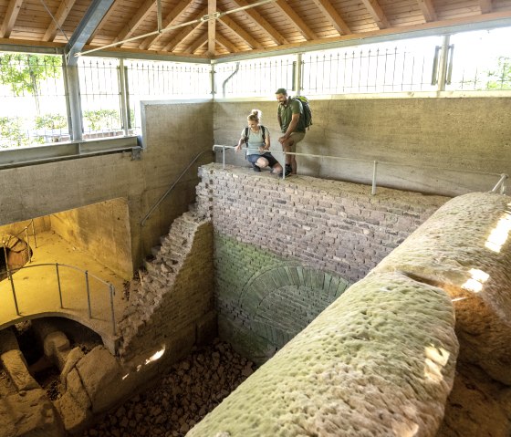
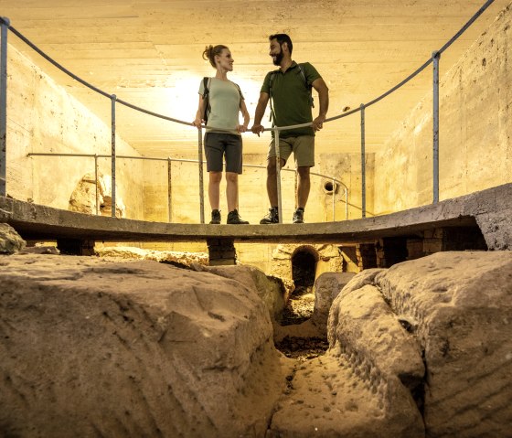
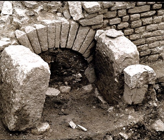
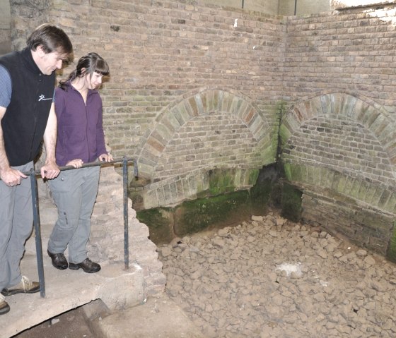
Stage 2 of the Roman Canal Trail (Kall-Dottel to Mechernich) leads through the typical Eifel landscape. Its particular charm lies in the fact that the constant alternation of gentle hills, quiet stream valleys, magnificent forests and hedge-lined meadows and fields offers a unique experience of nature. Several well-preserved sections of the canal can be admired on this stage, such as the Roman "Klausbrunnen" well, the collecting basin in Eiserfey and the Vussem aqueduct bridge.
The Roman Canal Trail runs for 116 kilometers in seven stages from Nettersheim to Cologne, following the old Roman water pipeline. The overview of the Roman Canal Hiking Trail shows you all the stages.
Marking of the tour:

